
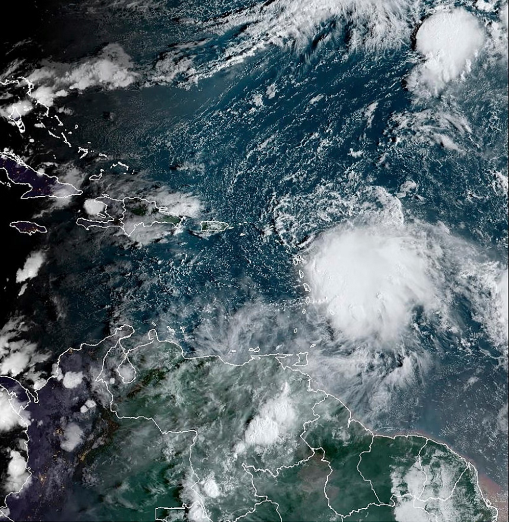
A Tropical Storm Watch has been issued for the British Virgin Islands following the positioning and strength of Tropical Storm Philippe which is described as having a poorly defined center.
A 2:00 p.m. update from the Department of Disaster Management (DDM) said at the time of their publication the storm was located near latitude 19.0 degrees North and length 64.4 degrees West, moving northwest near 10 miles per hour (mph).
The storm is expected to affect the territory over the next few days with flash flooding likely according to the weather experts.
“A turn is expected towards north-northwest later today, followed by a move towards the north late Wednesday through Thursday. On the journey predicted, Philippe’s center is expected to move away from the Virgin Islands starting tonight. However, the strongest winds and heaviest rainfall are likely to occur on the islands southeast of the center,” the DDM stated.
Maximum sustained winds as reported by the DDM are near 45 mph “with stronger gusts”. The storm is expected to strengthen over the course of the week, with storm force winds expected to soar to 175 mph mainly east and southeast of the center of Philippe.
As a result of the expected weather, Governor His Excellency John Rankin has announced that the National Emergency Operations Centre will be activated from this afternoon at Level 1 – the monitoring phase.
“Close monitoring means that if conditions worsen, our first responders and essential workers will be ready for immediate response,” Governor Rankin stated.
He also urged residents to brush up on their hurricane preparedness plans to be ready ahead of the expected weather.
“It is also time to review your plans, and ensure that you are prepared to activate emergency procedures at home and work. Persons in low lying or flood prone areas should take steps to safeguard their property,” he added.